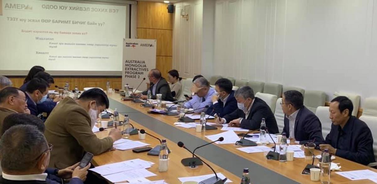
Project name:
Mongolia’s Geological Catalogue system
Funded by:
Australian Aid
Implemented by:
Adam Smith International
Mongolia’s Geological Catalogue system
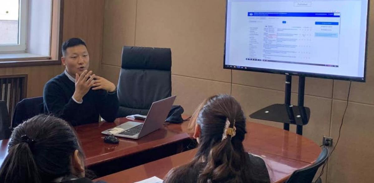
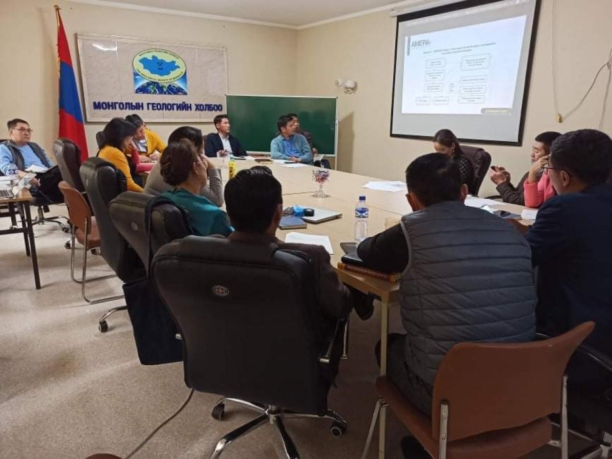
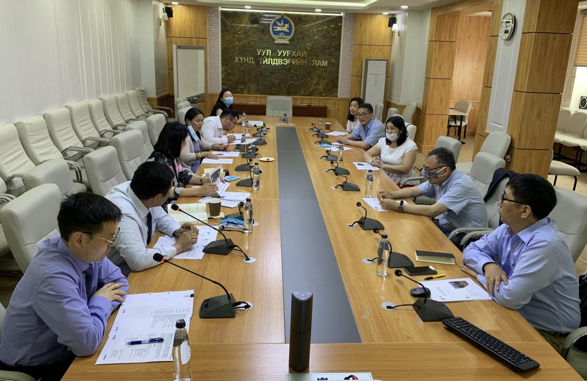
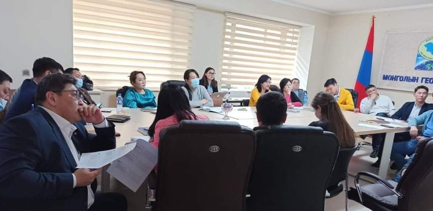
Completion of data entry for Mongolia’s Geological Catalogue system.
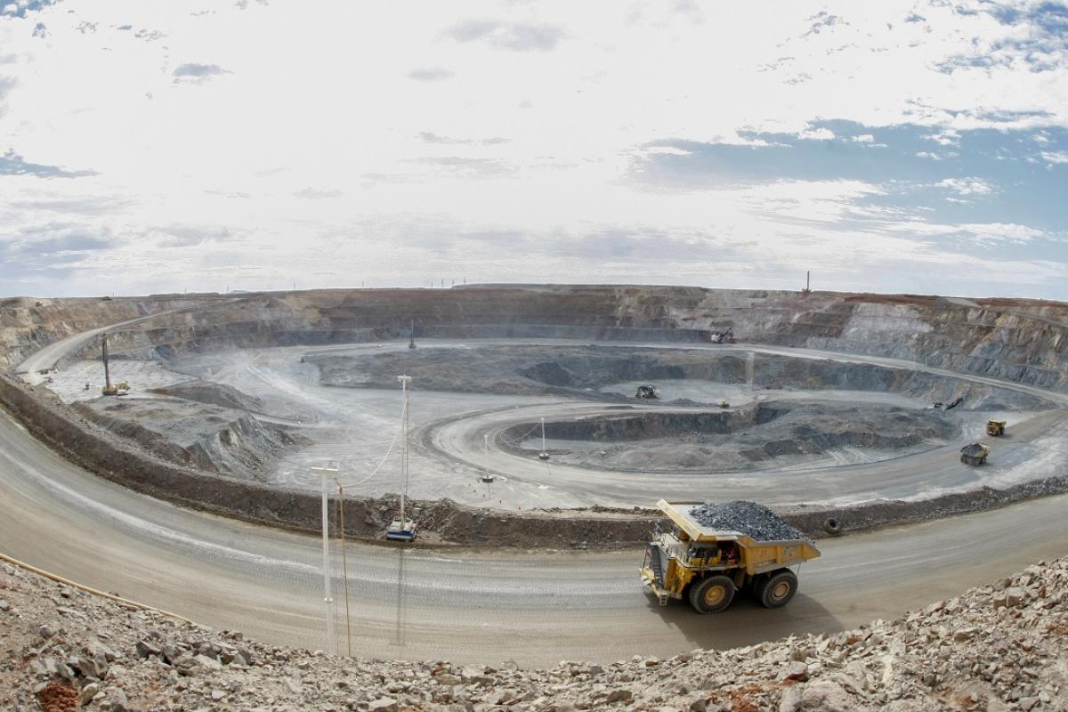
MonGeoCat is a meta-data catalogue of Mongolia’s geological information that has been made available in English and Mongolian since August 2017, with AMEP 1 support. It allows for online spatial searching based on the ArcGIS platform. The remaining data entry for the catalogue will be completed with AMEP 2 assistance to a) increase geoscientific data access for the world, and b) improve investor perception of Mongolia, signalling that Mongolia is an “open to investment” destination.
Public can access MonGeoCat system by entering http://geonet.mris.mn and http://webgis.mris.mn sites.


